A Landlocked Nation at the Heart of a Continent
The Central African Republic occupies one of the most geographically strategic positions on the African continent. It sits at the junction of forest and savannah zones, bordered by six nations and connected to major ecological systems stretching from the Atlantic watershed to the Nile Basin.
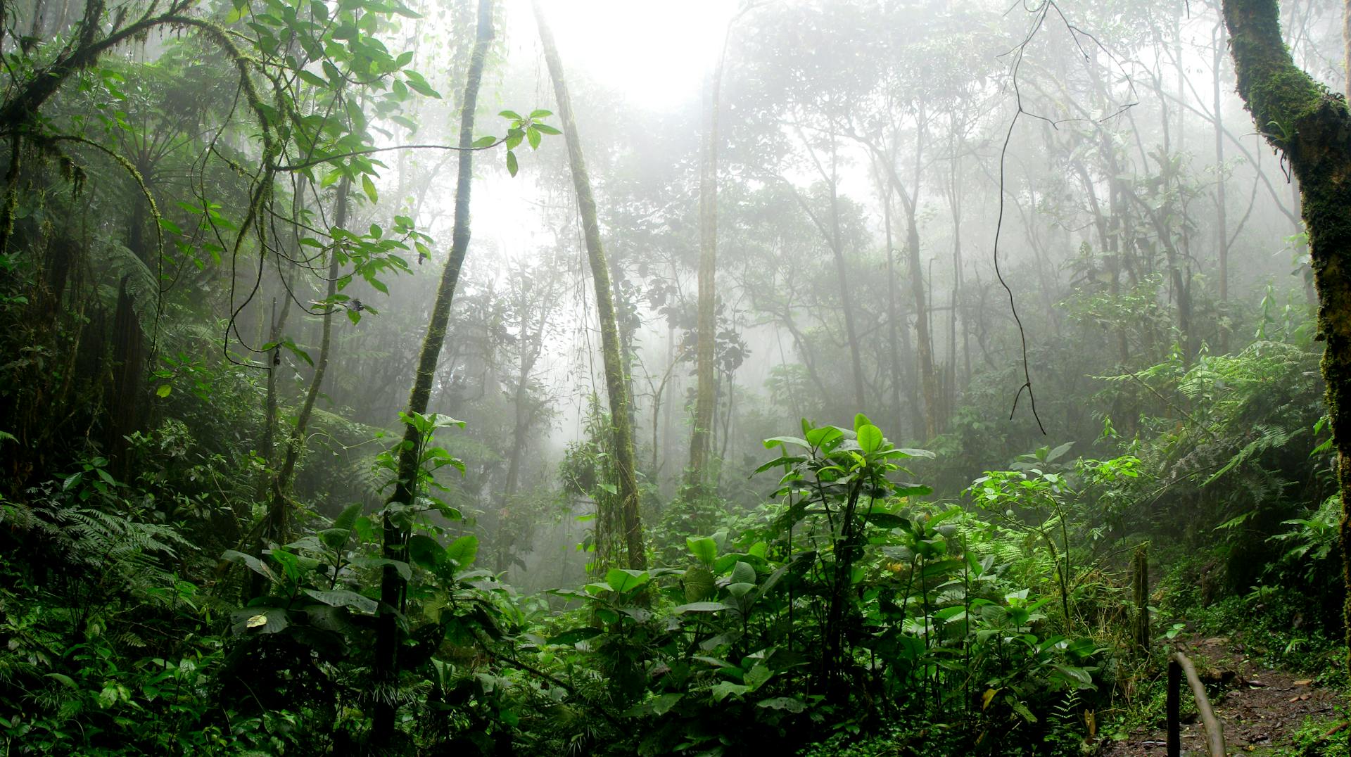
Covering 623,000 km², the country ranges from dense equatorial forests in the south and west to open woodlands and semi-arid savannah in the north and northeast. The terrain is dominated by a broad, gently undulating plateau averaging around 600 metres in elevation, cut by river systems flowing in opposite directions: the Ubangi and Sangha drain south into the Congo, while the Mbomou and Chinko flow east toward the Nile system. This hydrological duality is not merely geographic — it shapes transport routes, trade corridors, and the spatial distribution of alluvial mineral deposits.
The climate across most of CAR is tropical, with a pronounced wet season from May to October. Rainfall varies significantly between the humid south — where annual totals can exceed 1,600 mm — and the drier Sahel-adjacent north, which receives as little as 750 mm. This variation directly affects agricultural productivity, forest density, and the seasonal rhythms of artisanal mining, which is often most active during and immediately after the rains, when river sediments are disturbed and alluvial accumulations are accessible.
 History
From Colonial Concessions to Independence
The territory that is now CAR was incorporated into French Equatorial Africa at the end of the nineteenth century under the name Oubangui-Chari. Colonial administration was structured around concession companies that extracted rubber, ivory, and timber through systems of forced labor that left deep economic and demographic scars. Infrastructure investment was minimal; the territory was viewed primarily as a source of raw materials rather than a zone for development.
Independence came on 13 August 1960 under President Barthélémy Boganda, who had championed not just Oubangui-Chari's liberation but a broader vision for Central African federation. His death in a plane crash months before independence set the tone for subsequent decades of fragile governance, military interventions, and cycles of instability that periodically disrupted the formal economy without, however, eliminating the underlying resource base that continues to attract outside interest.
Post-independence history included the rule of Jean-Bédel Bokassa, who declared the country an empire in 1977 — a moment that became internationally symbolic of extreme misgovernance. Later decades brought periods of attempted democratization, followed by fresh conflict cycles in the 2000s and 2010s that created significant humanitarian challenges and fragmented the state's administrative reach across many interior prefectures.
"CAR's institutional instability has rarely diminished investor interest in its mineral potential — it has simply increased the risk premium attached to that potential."Capital
Bangui — Logistics Hub of the Ubangi River
Bangui, situated on the northern bank of the Ubangi River at the DRC border, has long served as the country's commercial and administrative center. Its position on a major navigable waterway made it a natural collection point for commodities moving out of the interior, and that function remains relevant today. The city hosts the country's customs directorate, central bank branch operations, and the diamond buying houses that aggregate artisanal production for export inspection and certification.
With a population estimated at over one million, Bangui is home to roughly a fifth of the entire national population. It functions as the primary interface between CAR's resource economy and external markets — a role that gives it disproportionate leverage over export revenues, policy implementation, and the pace of reforms. When security conditions in the capital stabilize, the effects ripple outward into field production and buying networks fairly quickly. When Bangui experiences disruption, the entire formal export pipeline stalls.
Beyond logistics, Bangui is increasingly relevant as a platform for digital governance experiments. Mobile-based permit registrations, electronic export documentation, and digital mapping of concession boundaries are being piloted by international technical assistance programs working alongside the national mining administration. These upgrades, modest in isolation, represent a structural shift toward the kind of transparent, data-driven governance that modern resource buyers increasingly require before committing to long-term supply relationships.
Quick Facts: Central African Republic
Capital: Bangui | Official language: French, Sango | Currency: Central African CFA franc (XAF) | Independence: 13 August 1960 | Area: 622,984 km² | Population: ~5.7 million | Main exports: Diamonds, timber, gold, cotton